When Two Surveys Tell Two Different Stories: The Growing Crisis of Conflicting Property Measurements
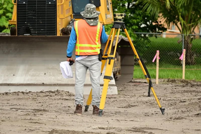
Imagine hiring a licensed surveyor, receiving an official plat map, and then watching your neighbor hire a different surveyor who produces an entirely different boundary line for the same shared edge of property. Neither professional is necessarily incompetent. Neither document is necessarily fraudulent. Yet the two results cannot both be correct—and until the conflict is resolved, neither you nor your neighbor has a legally defensible position.
This scenario, once considered an oddity, is becoming a routine feature of property disputes in the United States. As GPS technology proliferates, as older deed descriptions collide with modern measurement standards, and as development pressure pushes homeowners to scrutinize every inch of their land, conflicting surveys have emerged as one of the most frustrating—and legally complex—boundary problems facing American property owners today.
Why Professional Surveys Disagree in the First Place
The instinct is to assume that if two licensed surveyors examine the same parcel, they will reach the same conclusion. That assumption is understandable but frequently wrong. Several distinct technical and historical factors explain why legitimate surveys diverge.
Deed language written for a different era. Many American property descriptions were composed in the eighteenth or nineteenth century using metes-and-bounds language that referenced physical landmarks—a particular oak tree, a stone wall, a creek bend—that no longer exist. When surveyors must interpret ambiguous historical language, different professionals may make different but equally defensible interpretive choices. The result is two boundaries, both traceable to the same deed, occupying different positions on the ground.
Monument conflicts. Physical monuments—iron pins, concrete markers, or chiseled stones placed by previous surveyors—form the backbone of most boundary determinations. When those monuments have shifted, corroded, been removed by construction crews, or were placed inaccurately to begin with, a new surveyor must decide which evidence to prioritize. One professional might weight a found iron pin heavily; another might distrust it based on its condition and defer instead to deed distances. These judgment calls produce divergent lines.
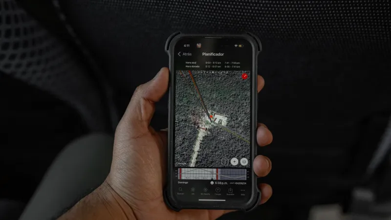
GPS accuracy limitations in residential contexts. This point deserves particular emphasis, because many homeowners now trust GPS-derived coordinates far more than the technology warrants in legal boundary work. Consumer-grade GPS devices carry accuracy margins of ten to thirty feet under ideal conditions—and conditions are rarely ideal in tree-canopied suburban lots. Even professional-grade GPS equipment, operating without differential correction, can introduce errors of several feet. When a surveyor relies on GPS-derived starting coordinates that contain even modest error, that error propagates across the entire measurement chain. Two surveyors beginning from slightly different GPS-anchored control points will produce boundaries that diverge by a corresponding amount.
Differing interpretations of controlling law. Survey standards vary by state, and even within a state, surveyors may disagree about which legal principle governs when evidence conflicts. Does senior title control over junior title? Does occupation evidence override deed calls when long-established? These are not merely technical questions—they are legal questions that licensed surveyors must answer, and reasonable professionals sometimes answer them differently.
The Real-World Consequences for Homeowners
Conflicting surveys do not simply create academic uncertainty. They generate concrete, expensive problems.
Title insurance companies may refuse to insure a parcel where survey conflicts are unresolved, effectively blocking a sale. Lenders routinely require clear survey certification before closing, meaning a disputed boundary can collapse a real estate transaction at the eleventh hour. Homeowners who have built fences, installed landscaping, or constructed additions based on one survey may find themselves legally exposed if a competing survey places those improvements on a neighbor's land. And once litigation begins, courts must resolve the conflict themselves—a process that typically requires hiring a third expert witness surveyor, paying attorney fees on both sides, and waiting years for resolution.
How to Respond When Your Surveys Don't Match
If you find yourself holding two surveys with different results, the following steps represent the most legally sound path forward.
Do not assume the newer survey is correct. Recency does not confer accuracy. An older survey conducted by a meticulous professional may be more reliable than a newer one completed under cost or time pressure. Evaluate both documents on their merits, including the evidence each surveyor relied upon and the methodology each employed.
Request a written explanation from each surveyor. A licensed surveyor should be able to articulate precisely why they reached their conclusion—what monuments they found, what deed calls they prioritized, and how they resolved any ambiguities. If a surveyor cannot or will not explain their methodology in writing, that is itself a meaningful data point about the reliability of their work.
Consider a boundary line agreement. When two surveys produce slightly different results and neither party wishes to litigate, a negotiated boundary line agreement—executed by both property owners and recorded with the county—can establish a legally binding line regardless of which survey was technically more accurate. Many title companies will insure over such agreements once properly recorded. This approach resolves the dispute faster and at far lower cost than court proceedings.
Pursue a third independent survey with explicit conflict-resolution scope. If the disagreement involves a significant area of land or a high-stakes improvement, commissioning a third survey specifically tasked with reviewing and reconciling the prior two is often the most practical path. Instruct this surveyor in writing to document all prior survey evidence, explain the source of the conflict, and issue an opinion on which result is better supported by the controlling legal standards in your state.
Consult a real property attorney before taking any physical action. The moment you move a fence, install a marker, or break ground based on a disputed survey, you risk creating an adverse possession clock, trespassing liability, or evidence of bad faith. An attorney familiar with your state's survey standards and boundary dispute case law can advise you on how to protect your interests without inadvertently worsening your legal position.
When Courts Resolve the Conflict
If private negotiation fails, courts do have established frameworks for choosing between competing surveys. Judges generally evaluate which survey is better corroborated by physical evidence, which surveyor's methodology most closely followed the controlling deed, and whether long-term occupation of a particular line by both parties has created any legally recognized interest. Courts also consider the relative qualifications and experience of the surveyors involved.
It is worth noting that courts do not simply defer to the more expensive survey or the more credentialed professional. A well-documented survey from a small regional firm may outweigh a rushed product from a national company if the evidence and reasoning are superior.
Protecting Yourself Before Conflict Arises
The most effective defense against conflicting survey chaos is proactive documentation. Before purchasing any property, request copies of all prior surveys on file with the county recorder's office and compare them carefully. Ask the seller to disclose any known boundary disputes or prior survey conflicts. If you are commissioning a new survey, provide the surveyor with all available historical survey documents and ask them to address any discrepancies in their final report.
Property boundaries are not self-evident lines on the earth's surface. They are legal constructs, built from historical documents, physical evidence, and professional judgment—all of which are capable of producing imperfect results. When those results conflict, the burden of resolution falls on you. The homeowners who navigate that burden most successfully are those who understand the technical limitations of the tools involved, engage qualified professionals early, and resist the temptation to treat any single survey as an unquestionable authority.
Know your boundaries. And know their limits.