Mapped Into a Mistake: Why Your Phone's Property Lines Are a Legal Fiction
Somewhere between the convenience of a smartphone and the complexity of property law, a dangerous assumption has taken root across American neighborhoods. Homeowners zoom into satellite imagery, spot what appears to be a clear boundary marker, and proceed with confidence — confident they know exactly where their land ends and their neighbor's begins. That confidence, in a growing number of cases, is costing them tens of thousands of dollars.
The problem is not carelessness. It is a fundamental misunderstanding of what digital mapping tools are built to do — and what they are categorically not built to do.
What Your Mapping App Is Actually Showing You
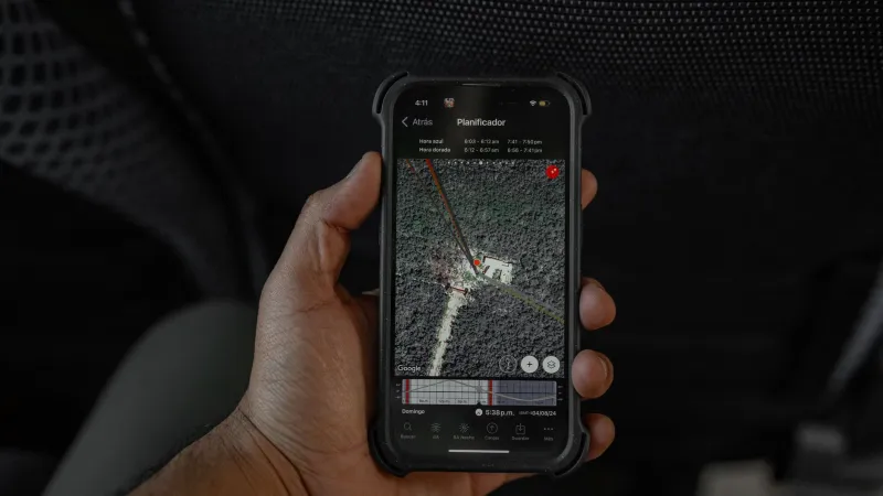
When you open Google Maps, Apple Maps, or any number of property-focused apps and see a line tracing the edge of a parcel, you are not looking at a surveyed boundary. You are looking at a computational approximation assembled from multiple imperfect data sources — satellite imagery, public cadastral records, tax assessor databases, and algorithmic interpolation.
Cadastral databases, which are the government records that describe land parcel shapes and ownership, vary dramatically in quality across the United States. Some counties maintain well-digitized, regularly updated records. Others rely on scanned hand-drawn plat maps from the 1940s that have been converted into digital format through optical character recognition — a process that introduces its own layer of error. When a mapping platform ingests these records, it is inheriting every inaccuracy embedded within them.
GPS itself introduces a further complication. Consumer-grade GPS devices and smartphones typically achieve horizontal accuracy within roughly ten to thirty feet under open-sky conditions. That margin of error sounds modest until you consider that the average residential lot in a dense suburban neighborhood may be only fifty to seventy feet wide. An error of fifteen feet on a fifty-foot lot is not a rounding issue. It is a legal crisis waiting to happen.
Real Consequences From Virtual Boundaries
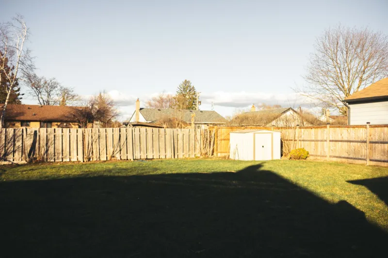
The pattern of harm is strikingly consistent across the country. A homeowner in suburban Ohio consulted a mapping app before pouring a concrete patio along what she believed was the rear boundary of her property. When her neighbor commissioned a licensed survey two years later in preparation for selling, the patio was revealed to extend four feet into the neighboring parcel. Removal and reconstruction cost her more than $11,000 — none of which was recoverable from the app she had trusted.
In another documented case in North Carolina, a property owner relied on an online parcel viewer maintained by the county itself to determine where he could install a privacy fence. The county's own digital records, it turned out, reflected an unresolved discrepancy between two competing surveys conducted decades apart. His fence was erected on land he did not own. The subsequent boundary dispute took eighteen months and significant legal fees to resolve.
These are not isolated anecdotes. Real estate attorneys and licensed surveyors across the country report that digital-mapping reliance has become one of the most common triggers for the boundary disputes they are called to resolve.
The Technical Reasons Behind the Discrepancies
Several distinct technical failures converge to produce the ghost line problem.
Datum shifts represent one of the least understood sources of error. Geographic coordinates are expressed relative to a reference system called a datum. The United States has transitioned between multiple datums over the decades, most notably from NAD27 to NAD83. A coordinate recorded under NAD27 and displayed on a modern platform calibrated to NAD83 can appear to shift by dozens of feet, even though neither measurement was wrong in its original context.
Parcel geometry simplification is another culprit. To render quickly on a mobile screen, mapping platforms often simplify the polygon shapes that represent parcels, rounding corners and smoothing irregular boundary lines. That simplification may be visually negligible at a regional zoom level but becomes meaningfully inaccurate when a homeowner zooms in to plan a fence installation.
Temporal lag compounds both problems. Even when source data is accurate at the moment it is recorded, it may not be updated when a boundary is legally modified — through a lot-line adjustment, a court order, or a recorded survey amendment. The map a homeowner consults today may reflect the legal state of a property as it existed years or even decades ago.
Why County Parcel Viewers Are Not a Safe Alternative
Many homeowners, aware that consumer mapping apps are imprecise, turn instead to their county's official parcel viewer with a sense of greater confidence. That confidence is often misplaced. County parcel viewers are administrative tools designed for tax assessment and general land records management. Their terms of use almost universally include explicit disclaimers stating that the displayed boundaries are not suitable for legal or engineering purposes.
The data underlying those viewers is subject to the same cadastral inaccuracies, datum inconsistencies, and digitization errors described above. The government seal on the interface does not confer legal authority on the boundary lines displayed within it.
What Constitutes a Legally Authoritative Boundary
Under American property law, the authoritative description of a boundary is found in the recorded deed and, where one exists, the recorded plat or survey. These documents — held at the county recorder's office or register of deeds — establish the legal boundary through written metes-and-bounds descriptions, bearings, distances, and monument references.
Translating those recorded descriptions into physical markers on the ground is the exclusive province of a licensed land surveyor. Only a licensed professional, operating under state law and professional liability, can establish where a legal boundary actually falls in three-dimensional space. No app, no satellite image, and no county parcel viewer can substitute for that determination.
A Practical Verification Framework for Property Owners
For homeowners who want to move from digital approximation to legal certainty, a structured approach is both accessible and affordable relative to the cost of a boundary dispute.
Begin with your deed. Obtain a copy of your recorded deed from the county recorder's office. Read the legal description carefully. If it references a recorded plat, obtain that plat as well. These documents will tell you what the law says your boundaries are — even if they do not immediately tell you where those boundaries are on the ground.
Search for existing survey monuments. Prior surveys may have placed iron pins, concrete monuments, or other markers at your corners. These may be visible or may require some searching near the corners of your lot. Their presence does not eliminate the need for a professional, but it provides a useful starting reference.
Commission a boundary survey before any significant project. Before installing a fence, constructing an addition, planting a hedgerow along a boundary, or grading land near a property line, engage a licensed land surveyor. Survey costs vary by region and lot complexity but typically range from several hundred to a few thousand dollars — a modest investment compared to the cost of undoing work built on a false assumption.
Treat digital tools as orientation, not authority. Mapping apps and parcel viewers are useful for understanding the general shape and location of a property. They are not reliable for determining precise boundary locations. Using them to make construction or legal decisions is analogous to using a weather forecast to determine whether a building's foundation is structurally sound.
The Boundary Is Where the Law Says It Is
The convenience of digital technology has reshaped how Americans interact with nearly every aspect of their lives, including their property. But property boundaries exist in the physical and legal world — not in the computational one. A line on a screen, however precise it appears, carries no legal weight and no guarantee of accuracy.
At FenceOff, we have observed how easily these misunderstandings escalate from a simple planning decision into a protracted neighbor dispute or an expensive legal proceeding. The ghost line problem is not going away as technology improves; it is, in many respects, growing more pervasive as more homeowners reach for their phones before they reach for a professional.
Knowing your boundaries means knowing their source. And their source is never a satellite.